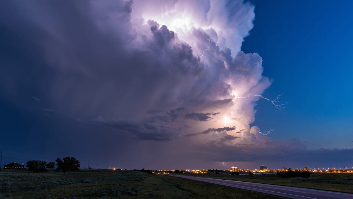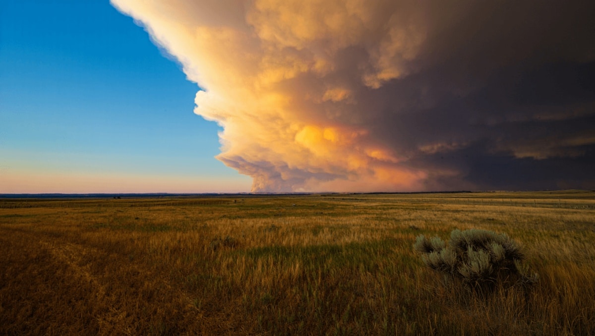
Cheyenne remains under a red flag warning as unusually dry conditions and gusty winds keep wildfire risk elevated, but forecasters say a late-week weather system may bring relief — and complications — in the form of rain and even snow. That shift matters for outdoor plans, prescribed burns and travel conditions across southeast Wyoming.
The National Weather Service in Cheyenne reports clear skies and mild temperatures today, with a west‑northwest breeze. Highs should top out in the mid‑60s before a chilly night.
Temperatures are expected to rise through early in the week, with the warmest day predicted on Tuesday. By midweek, however, a Pacific system will approach, nudging rain chances upward Wednesday and increasing the likelihood of mixed precipitation and mountain snow by Thursday night.
Pittsburgh fireworks guide: find the best viewing sites and legal ignition zones for July 4
Delivery impersonator shoots through package at ex’s new boyfriend
What to watch this week
The coming days bring two competing trends: continued dryness and warm afternoons that sustain elevated fire danger, then a weakening of that risk as precipitation becomes more likely later in the week. At the same time, stronger winds and a sudden drop in temperatures could create slick or disruptive conditions if snow mixes with rain.
- Today: Sunny, high near 65°F. West‑northwest winds around 5–15 mph.
- Tonight: Mostly clear, low near 33°F. Winds shift to the west‑southwest.
- Monday: Warmer, mostly sunny, high near 74°F. West winds 10–15 mph.
- Monday night: Clear, low around 40°F. Breezy conditions continue.
- Tuesday: Warm and dry, high in the upper 70s. Southwest winds 5–15 mph.
- Wednesday: Increasing clouds with a 20% chance of afternoon showers; still breezy and mild.
- Thursday: Showers and a chance of thunderstorms after noon; cooler, high near mid‑50s. By night, rain may change to snow in spots.
- Friday–Saturday: Lingering chances for rain and snow showers, with temperatures fluctuating and brief thunderstorms possible.
Windy periods are likely midweek, which can both fan fires while conditions are dry and produce rapid changes in wind‑driven snowfall once the cold air arrives.
For residents planning outdoor activities, the key takeaway is simple: the immediate threat from dry, windy weather remains, but conditions could shift quickly as precipitation moves in later this week. Local authorities and the National Weather Service will post any changes to watches or warnings as the forecast evolves.
Source: National Weather Service Cheyenne.