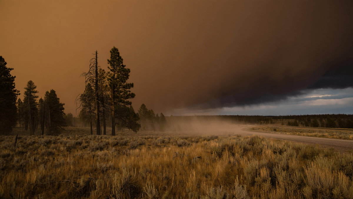
Strong, gusting winds moving across southeast Wyoming have forced road limits and raised wildfire concerns for residents and travelers through this evening. Officials say the combination of low humidity and powerful gusts could prolong disruptions and keep fire danger elevated into the weekend.
The National Weather Service in Cheyenne recorded wind gusts as high as 70 mph in the Vedauwoo area and roughly 60 mph near the Interstate 80 summit earlier today. A high wind warning for central Laramie County — including Cheyenne — remains active until 6 p.m.
State transport authorities have restricted travel for light, high-profile vehicles on key corridors because of the risk of blowovers and loss of control. Affected stretches include much of I-80 between Walcott Junction and Cheyenne and long segments of I-25 from the Colorado line northward toward Casper.
Boxing champions ditch long runs for high-intensity training: new era in fight prep
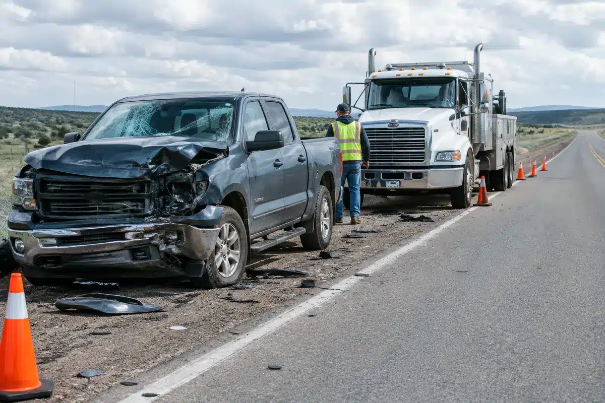
Czech nationals among victims of Pinedale-area crash: two confirmed dead
At the same time, low moisture levels — reported around 12–20% — combined with the gusty conditions have prompted a red flag warning for Laramie County and the southern Nebraska Panhandle through 8 p.m. The NWS also issued a fire weather watch for Friday afternoon as winds near 35 mph and dry fuels are expected to persist.
- Immediate impacts: travel restrictions on I-80 and I-25 for light, high-profile vehicles; elevated chance of wind-related accidents and power outages.
- Fire risk: red flag conditions tonight, with a fire weather watch for Friday; keep ignition sources controlled and heed local burn bans.
- Precipitation: isolated showers are possible today; mountain ranges could see several inches of snow, while Cheyenne may get mixed rain and snow later in the week.
For residents, the key takeaways are practical: avoid unnecessary travel on the listed interstates while restrictions are in place, secure outdoor items that could be toppled in high winds, and follow instructions from local emergency services should a wildfire threaten.
Detailed forecast
| Period | What to expect | Temperatures | Winds & gusts | Precipitation chance |
|---|---|---|---|---|
| Today | Mostly sunny but very windy | High near 56°F | WNW 35–40 mph, gusts up to 60 mph | Low |
| Tonight | Mostly clear; blustery | Low around 31°F | WNW 20–25 mph, gusts to 40 mph | Low |
| Friday | Shower chances midday; generally breezy | High near 60°F | W 10–25 mph, gusts to 35 mph | 30% |
| Friday night | Cloudy with a slight chance of snow | Low near 26°F | W to N 5–20 mph, gusts to 30 mph | 20% |
| Saturday | Chance of showers and isolated thunder | High around 54°F | Variable 5–15 mph | 40% |
| Saturday night | Likely rain, then mixed rain/snow | Low near 33°F | Light to moderate | 70% |
| Sunday | Widespread rain, possibly mixed with snow; thunder possible | High near 48°F | Moderate | 90% |
| Sunday night | Rain and snow likely, then chance of snow | Low around 28°F | Variable | High |
| Monday–Wednesday | Unsettled pattern with chances for showers and thunderstorms at times | Highs generally 50–60°F | Winds variable | Variable (slight to likely) |
Mountain communities in the Sierra Madre and Snowy ranges could receive up to several inches of snow from the next system; the rest of southeast Wyoming should plan for a period of wet, cooler weather by late weekend into early next week.
For the latest advisories and real-time conditions, consult the National Weather Service in Cheyenne and local transportation agencies before traveling.