
Show summary Hide summary
More than two centuries ago, an expedition led by Meriwether Lewis and William Clark set out from the Mississippi River basin on a mission that would redraw American maps and reshape national ambitions. Traveling for nearly three years, the Corps of Discovery pushed west from the vicinity of St. Louis to the Pacific and back, exploring lands newly acquired after the Louisiana Purchase.
The journey combined cartography, natural history and diplomacy. Members of the Corps recorded plants and animals unfamiliar to Euro‑American science, compiled maps used by later travelers and negotiated passage — sometimes tense, sometimes cooperative — with dozens of Native nations whose homelands the party crossed.
What to remember about the expedition
Despite the brevity of the story in public memory, the Lewis and Clark expedition had several concrete outcomes that shaped 19th‑century North America and still echo today.
Boxing champions ditch long runs for high-intensity training: new era in fight prep
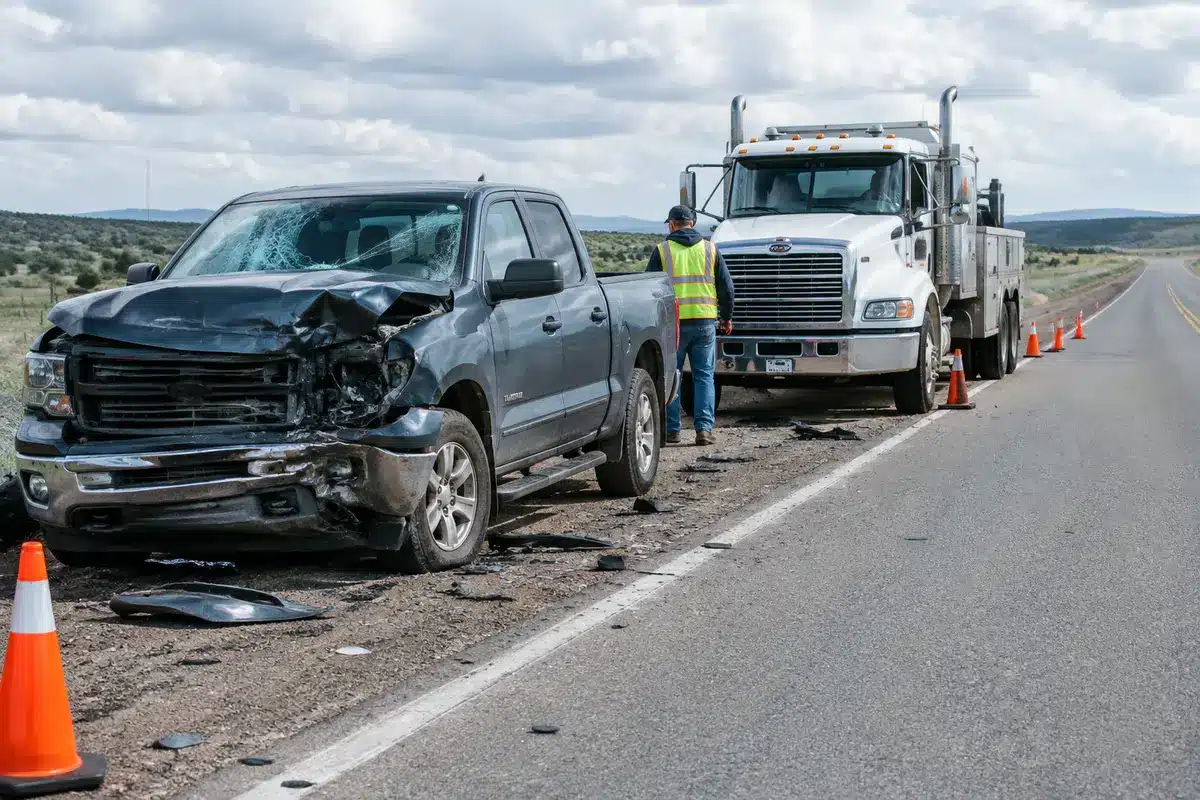
Czech nationals among victims of Pinedale-area crash: two confirmed dead
- Leaders: Meriwether Lewis and William Clark commanded the Corps of Discovery, a small, military‑style party with scientists, hunters and interpreters.
- Duration: The trip lasted almost three years, from departure near St. Louis to the return journey.
- Objective: Reach the Pacific, document the land and resources, and establish an American presence in the region acquired in the Louisiana Purchase.
- Scientific work: Participants collected specimens and kept journals that expanded contemporary knowledge of the continent’s flora, fauna and geography.
- Indigenous relations: The expedition’s travel was possible in large part through interactions—trade, guidance, and sometimes conflict—with many Indigenous nations along the route.
Maps and notebooks produced during the expedition informed settlement, trade routes and further exploration. At the same time, the movement of explorers and later settlers accelerated changes for Indigenous communities — a historical consequence that remains central to how historians assess the trip.
Why this still matters now
Interest in Lewis and Clark resurges whenever questions about how the United States expanded, how land and knowledge were claimed, and how public history is presented come to the fore. The expedition is not just a tale of navigation and discovery; it is also a touchpoint for discussions about scientific documentation, territorial policy and the often-overlooked perspectives of Indigenous peoples.
Classroom curricula, museum exhibits and public commemorations continue to revisit the expedition with new research and sources. That evolving scholarship affects what the public sees in maps, monuments and textbooks, and it shapes how communities decide which stories to emphasize or reconsider.
For readers today, the legacy of that nearly three‑year journey matters because it helps explain how continental networks of trade, science and power were built — and how those networks continue to influence regional identities and policy debates more than 200 years later.