Burned area hazards still a factor for Forest Visitors

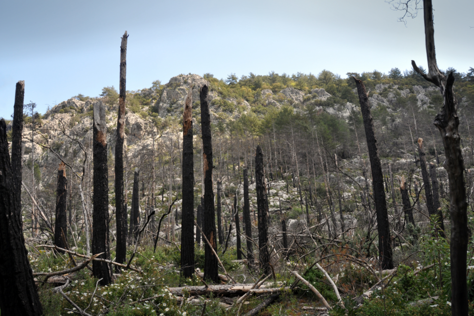
Over the past five years, wildland fire has impacted the landscape of the Medicine Bow-Routt National Forests (MBR) in northcentral Colorado and southeast Wyoming. Though stabilization and restoration work continues, visitors should be aware of risk and take precautions when visiting recently burned areas.
In 2021, the Muddy Slide, Morgan Creek, and Black Mountain Fires burned a cumulative 12,097 acres (19 square miles) on National Forest System lands managed by the MBR. In the past five years, local wildfires have burned over 391,000 acres (611 square miles) of NFS lands, with the acreage rising higher when considering other adjacent federal, state, and private lands.
Regardless of size or intensity, fire brings changes to the landscape. The five years immediately following a wildfire have an increased risk of hazardous post-fire impacts including flooding, falling hazard trees, and the spread of noxious weeds. Visitors can prepare for these impacts by visiting our Post-Fire Hazards web page, which highlights current closures, safety and preparedness information, and fire history maps.
‘Know Before You Go’ and seek out on-the-ground condition reports before you visit. Forest Service district offices are great sources of information, as well as official social media pages and the MBR web site.
Information about recreation site status, maps, and post-wildfire management efforts can also be found on our website or social media channels: @FS_MBRTB on Twitter or @FSMBRTB on Facebook.


