Prolonged Winter Impacts – High winds, Blowing snow, & Arctic cold front

The weather impact level for combination of prolonged snow event through Sunday, artic cold Saturday, plus high winds and blowing snow today into early Saturday is: Moderate to High
Key Messages:
Prolonged winter impacts today through Sunday with combination of new snow, high wind, blowing snow, and arctic cold across the region. Timing and elevation will be key for impact magnitude and start time today into Saturday morning.
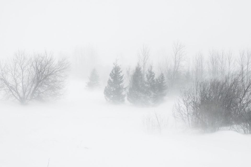
Chronologically – Ongoing High Winds, Blowing Snow, and Falling snow is occurring across Carbon and Albany Counties with Blowing snow across SE WY & portions of NE Panhandle. Winds will decrease Saturday morning.
Arctic Cold front will surge south Saturday morning. Wind chills will drop to single digits and then negative by Saturday afternoon. Wind Chills will remain below zero Saturday evening through next Wednesday. -20 to -30 wind chills likely Monday AM and Tuesday AM.
Snow rates will vary over the full weekend with Saturday the heaviest snow day overall during this prolonged snowfall event. Most snow will fall Saturday across the High Plains. Feet of snow expected in the mountains above 8500ft+. Pockets of drifting could be possible with winds during the heaviest snowfall 20-25 mph from the ENE.
Recent Updates:
Blizzard Warning in effect for Arlington/Elk Mountain Area through 8pm. Winter Storm Warnings and Winter Weather Advisories in effect for most impacted areas Today through Sunday.


