Water Storage Discussions for West Fork Battle Creek Drainage Involve Forest Service

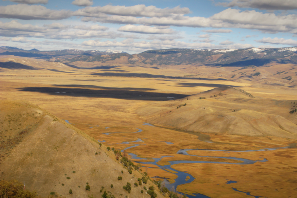
The U.S. Department of Agriculture Forest Service is engaging in discussions with partners and as a participating agency in environmental analysis for supplemental water storage in the Little Snake River Basin of southern Wyoming, Sierra Madre Range.
The West Fork Battle Creek project, which conceptually could build a 130-surface acre reservoir, is sponsored by two water conservancy districts: Savery-Little Snake in Wyoming, and Pothook in northwest Colorado.
The State of Wyoming has identified a location south of Highway 70 in Carbon County, Wyo. as the preferred site for a new reservoir. A portion of the proposed reservoir site would be on lands currently managed by the Medicine Bow National Forest, Brush Creek/Hayden Ranger District.
According to the Wyoming Water Development Commission (WWDC), the reservoir’s primary use would be for irrigation, with ancillary benefits to recreation and watershed management. Analysis and studies have been underway since 2008, contracted by the WWDC.
The Forest Service is working with the Natural Resources Conservation Service (NRCS), U.S. Army Corps of Engineers (USACE), and multiple agencies from the State of Wyoming on what would be a combined Environmental Impact Statement for a limited land exchange, the reservoir and associated permits. SWCA Environmental Consultants has been hired by the State as a third-party NEPA contractor.
A formal land exchange proposal has not yet been received by the Medicine Bow National Forest. The Forest Service did not initiate the land exchange idea, however over a course of several years a range of land exchange concepts have been part of ongoing discussions with the Wyoming Office of State Lands and Investments.
Once the land parcels to be exchanged as part of the reservoir project are identified, federal regulations require the Forest Service to first consider whether the exchange would serve public interest. This is referred to as a Public Interest Determination.
According to Forest Service policy, the environmental analysis should focus on the future use and management of the lands acquired and conveyed and the effect of the exchange on the lands that adjoin them.
Tribal consultation is required prior to project initiation.
The proposed project is about 2.5 miles downstream from Highway 70 in a deep canyon. The dam, on the West Fork of Battle Creek, would be downstream from the Lost Creek/Haggarty Creek confluence and have a water capacity of 10,000 acre-feet.
Reservoir construction on National Forest System lands is not commonplace. The last dam construction on the Medicine Bow National Forest was when the Rob Roy Reservoir dam was expanded in 1986.
Information on the Medicine Bow National Forest may be found on our website or on the Forests’ Twitter and Facebook accounts. Visitors may also call the Brush Creek/Hayden Ranger District office at (307) 326-5258.


