Show summary Hide summary
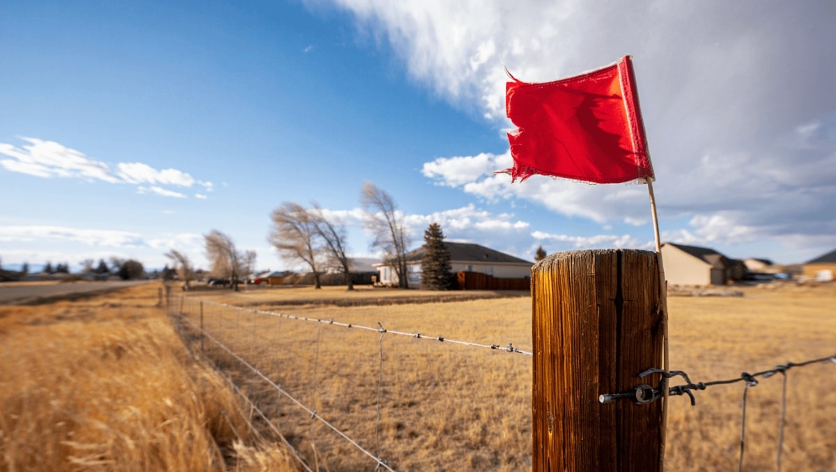
Residents of Laramie County woke to an unusually warm March day and a sharp warning from the National Weather Service: a red flag warning is in effect across southeast Wyoming as record-breaking temperatures and gusty winds raise the risk of rapid fire spread. The combination of heat and bone-dry air makes even small sparks potentially dangerous today.
Why this matters now
Cheyenne could climb to about 84 degrees — well above seasonal norms — while west winds are forecast to intensify, creating conditions that favor fast-moving grass and brush fires. Local authorities are urging people to avoid any activity that could produce flames or sparks until humidity recovers.
Boxing champions ditch long runs for high-intensity training: new era in fight prep
Czech nationals among victims of Pinedale-area crash: two confirmed dead
Forecasters expect west winds to strengthen into the afternoon, with sustained speeds rising into the 20s (mph) and gusts up to the mid-30s. Those winds paired with very low humidity create a volatile mix across open rangeland and residential edges.
Short-lived cooldown, then another warm surge
A cold front moving south later tonight should knock temperatures down sharply for Sunday, with daytime highs near 60 degrees — still roughly 10 degrees above typical March values. That front may leave behind isolated sprinkles or virga, rain that evaporates before reaching the ground, so widespread wetting is unlikely.
Early next week an upper-level ridge is forecast to rebuild, pushing highs back into the 70s and then the 80s by midweek. That rebound, combined with renewed breezy plains winds, means elevated fire weather concerns could return within days.
- Immediate risks: Increased likelihood of fires starting and spreading quickly across dry grassland and urban-wildland interfaces.
- Public guidance: Avoid outdoor burning, use caution with machinery that can spark, and follow instructions from local fire and emergency officials.
- Short-term trend: Brief cooling Sunday, then rapid warming early next week with another possible but dry frontal passage by late Wednesday.
Forecast snapshot
- Today: Sunny and hot, high near 84°F. West winds increase to 20–25 mph with gusts near 35 mph — critical fire-weather conditions.
- Tonight: Clearing to partly cloudy, low around 41°F. Breezy with winds shifting north after midnight and gusts up to about 30 mph.
- Sunday: Much cooler, mostly sunny, high near 60°F. Winds northwest in the morning then turning south-southeast in the afternoon.
- Sunday night: Partly cloudy, low around 40°F, light southerly breeze.
- Monday–Tuesday: Warmer: highs climbing through the 70s, breezy at times as the ridge rebuilds.
- Wednesday: Temperatures likely back into the low 80s with continued breezes — renewed potential for elevated fire risk.
- Late week: A dry cold front may arrive Wednesday night, bringing temperatures closer to seasonal averages but little precipitation.
Conditions remain dynamic; small shifts in wind or humidity could change the local outlook quickly. The National Weather Service in Cheyenne continues to monitor the situation and has the latest advisories for residents and visitors.