Show summary Hide summary
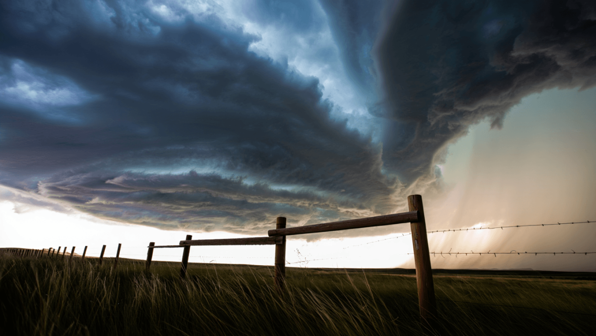
Cheyenne and nearby communities face a heightened severe-weather threat this afternoon and evening as a potent storm system moves across southeast Wyoming. The main concerns are large hail, damaging straight-line winds and the possibility of brief tornadoes — hazards that could disrupt travel and cause property damage through Thursday.
The National Weather Service in Cheyenne has raised the local threat level, warning that some storms may produce hail as large as a softball and that heavy, repeated downpours could lead to flash flooding, especially in recent wildfire burn zones.
What to expect through Thursday
Storm activity will intensify along and east of the I‑25 corridor, with the greatest risk this afternoon into the evening. A stalled cold front will keep rounds of thunderstorms over the region into Thursday before drier, warmer air returns for the weekend.
Boxing champions ditch long runs for high-intensity training: new era in fight prep
Czech nationals among victims of Pinedale-area crash: two confirmed dead
Forecasters emphasize that although most storms will be brief, a few could become particularly powerful — capable of throwing up pea- to softball-sized hail, producing severe wind gusts, or spinning up short-lived tornadoes in unstable pockets.
- Primary hazards: large hail (up to 4 inches), damaging winds, and isolated tornadoes.
- Flood threat: repeated heavy showers raise the risk of sudden runoff and flash flooding, with burned slopes most vulnerable.
- Timing: peak storm potential this afternoon into tonight, continuing at times through Thursday.
Brief forecast snapshot
| Period | Conditions | High / Low | Precip. chance |
|---|---|---|---|
| Today (afternoon–evening) | Scattered to likely thunderstorms; some could be severe | Near 77°F | Around 60% |
| Tonight | Lingering storms with isolated severe cells | Near 51°F | ~50% |
| Thursday | Showers and storms through midday into afternoon; elevated flood risk | Near 71°F | Up to 80% |
| Friday–Weekend | System clears Friday; warmer and drier Saturday–Sunday | Upper 80s by Saturday | Lower chances by Friday |
Impacts and context
Large hail can shatter windows, dent vehicles and damage roofing; strong gusts along fast-moving lines of storms are the main source of wind damage. Flash flooding from repeated cells poses a distinct threat to low-lying roads and areas below recent burn scars, where vegetation loss increases runoff speed.
Travel could be affected this afternoon and tonight across the eastern plains — sudden reductions in visibility and debris on roadways are possible where severe storms pass. The pattern will ease by Friday as the frontal system departs and warmer, drier air moves in for the weekend.
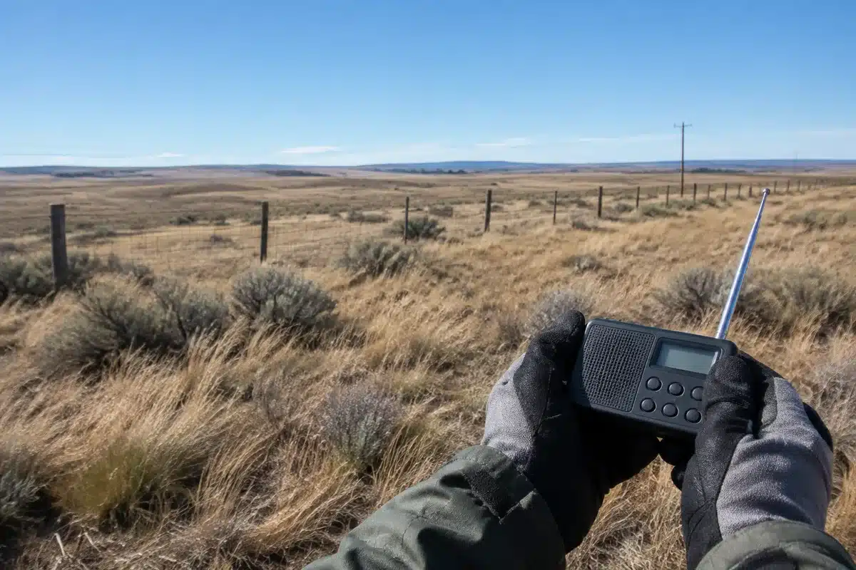
For the latest watches, warnings and radar updates, consult the National Weather Service in Cheyenne and local emergency channels.