Show summary Hide summary
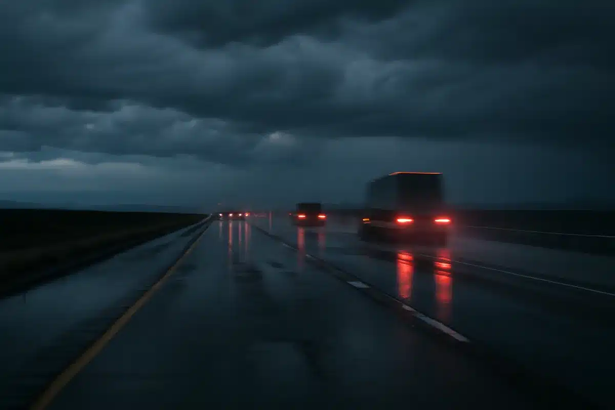
A surge of monsoonal moisture moving northeast will bring widespread showers and scattered thunderstorms to southeast Wyoming this weekend, with the heaviest rain expected across Laramie County on Saturday. The pattern matters for weekend travelers and outdoor plans along Interstate 80, where localized downpours and gusty winds could create hazardous conditions.
Forecasts from the National Weather Service in Cheyenne show an upper-level disturbance tapping into unusually rich late‑August moisture for the region. Models indicate the Interstate 80 corridor could see totals near a half‑inch in many spots, with isolated higher amounts possible in stronger storms.
Although widespread severe dynamics are limited, forecasters have placed the eastern plains in a marginal risk for severe storms Saturday afternoon. The primary threats are strong straight‑line winds and the occasional, small hail-producing cell as storms organize into linear bands and multicell clusters.
Boxing champions ditch long runs for high-intensity training: new era in fight prep
Czech nationals among victims of Pinedale-area crash: two confirmed dead
Temperatures will trend cooler under the cloud cover, with highs generally topping out in the 80s. By Sunday, drier air will begin to edge in behind the disturbance, bringing breezy west to westerly gusts across southeast Wyoming.
What to expect and why it matters
Short-term impacts are location-dependent: brief heavy rain may reduce visibility on highways, while gusty winds could affect high-profile vehicles and outdoor events. Storm coverage is forecast to decline Sunday but daily afternoon convection will remain a possibility through midweek as lingering moisture and mountain heating continue to spark storms.
- Timing: Most widespread activity Saturday; scattered storms likely each afternoon and evening through Wednesday.
- Primary hazards: Localized heavy rain, gusty straight‑line winds, and isolated marginal hail.
- Travel: Expect reduced visibility and ponding on roadways along I‑80 and lower‑lying areas during heavier downpours.
- Winds: Gusts of 25–35 mph likely Sunday as drier air filters in.
- Trend: Storm chances taper Thursday–Friday as mid‑level warming and drier air suppress convective development.
Detailed forecast
- Today: Scattered showers and thunderstorms are possible, mainly afternoon into evening. Highs near 84°F with southeasterly winds around 10–15 mph. Chance of precipitation roughly 40%.
- Tonight: Showers likely before midnight, then diminishing early morning. Lows close to 58°F. Winds shifting to west‑southwest after midnight. Overall rain chance about 60% with localized heavier amounts from stronger storms.
- Sunday: Drier air returns for part of the day; showers and storms mainly after mid‑afternoon. Highs near 89°F. West‑southwest winds 5–15 mph. Rain chance around 30%.
- Sunday night: Scattered showers possible early evening, then decreasing. Low near 60°F and light west‑southwest winds. Rain chance near 20%.
- Monday: Afternoon and evening storm chances increase as monsoonal moisture lingers. Highs near 87°F. Expect a 50% chance of showers/thunderstorms.
- Monday night: Slight, lingering chance of showers early in the night. Low about 56°F and roughly a 20% precipitation chance.
- Tuesday: Showers likely with thunderstorms possible after noon; high near 84°F and precipitation probability around 60%.
- Tuesday night: Continued chance for evening showers and storms; lows in the mid‑50s.
- Wednesday: Afternoon storm chances persist with highs near 82°F.
- Wednesday night: Evening showers and isolated storms remain possible; lows near 54°F.
- Thursday: Storm coverage should begin to dwindle as drier, warmer mid‑levels limit convection. Mostly sunny with a high near 85°F and a reduced chance of showers.
- Thursday night: Slight chance of a passing shower; low around 56°F.
- Friday: Mainly dry with only a slight chance of a shower. Highs climb back toward the upper 80s.
Forecasters say the situation remains fluid; for real‑time updates and watches or warnings, consult the National Weather Service in Cheyenne.