Show summary Hide summary
Cheyenne faces another hot afternoon before a surge of monsoonal moisture moves in, bringing greater rain chances and cooler temperatures by the weekend. The shift could produce heavy downpours and localized impacts for travelers along the Interstate 80 corridor.
Today’s heat will push temperatures into the low 90s, while only scattered storms are expected this afternoon. The National Weather Service in Cheyenne says the probability of any shower or thunderstorm is modest today, but winds will change direction late in the day and nights will be noticeably cooler.
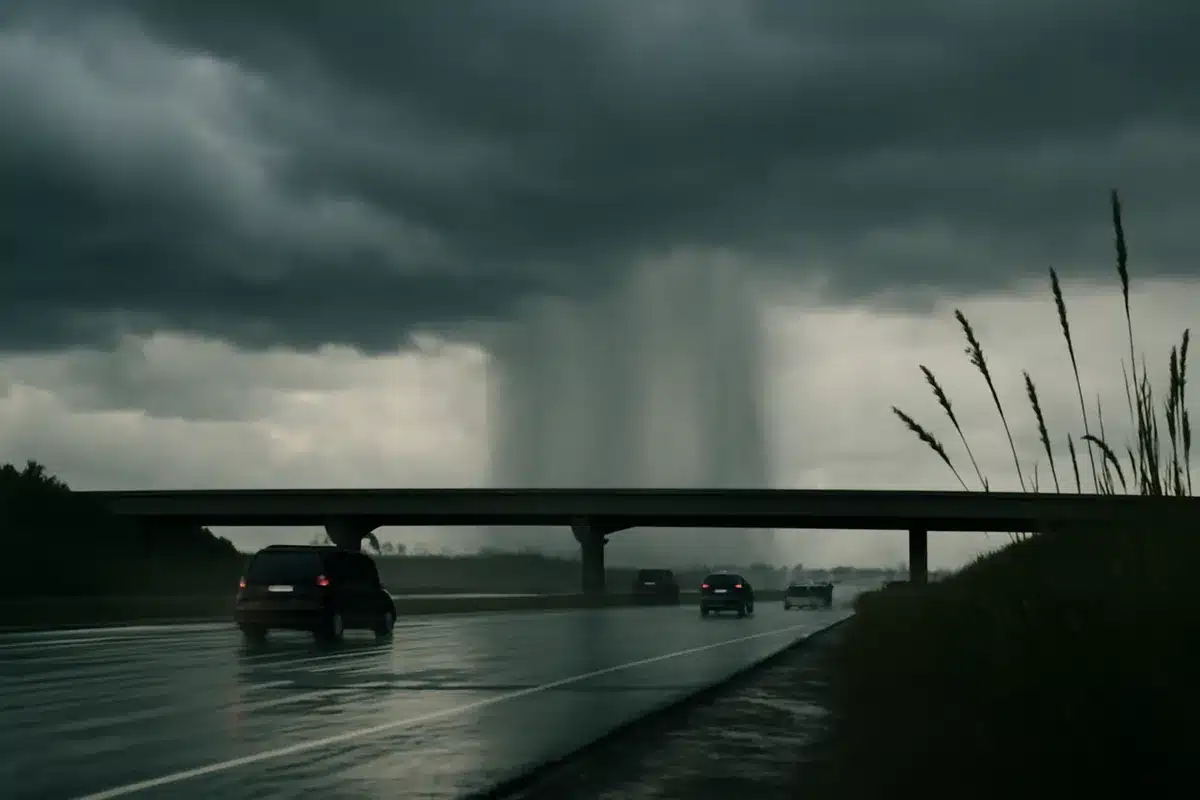
By Saturday, a wetter air mass advances from the south and east, raising the odds of storms through Saturday night. Meteorologists warn that concentrated bursts of rain could cause brief flooding in low-lying areas and make highway conditions hazardous where storms set up along I-80.
Boxing champions ditch long runs for high-intensity training: new era in fight prep
Czech nationals among victims of Pinedale-area crash: two confirmed dead
Short-term impacts
There is a small but tangible risk of stronger storms mainly across western Nebraska, where isolated cells could produce damaging wind gusts and hail close to quarter size. While the severe threat is not widespread, the potential for sudden, intense storms emphasizes the need to monitor updates.

Temperatures will dip from the peak heat, with daytime highs returning to the mid-80s as clouds increase and humidity climbs. The pattern remains notably unsettled into next week, with daily afternoon and evening convective chances persisting.
Detailed forecast
- Today: Mostly sunny and hot, high near 92°. A 20% chance of showers and thunderstorms after noon. West winds 5–15 mph, shifting to the east later in the afternoon.
- Tonight: Partly cloudy with a low around 59°. East-southeast winds 5–10 mph, becoming light and variable after midnight.
- Saturday: Rain chances increase to about 40% in the afternoon, mainly after 3 p.m. Partly sunny, high near 85°. Winds light and variable early, becoming southeast 10–15 mph.
- Saturday night: Showers likely with a 60% chance and thunderstorms possible before midnight. Mostly cloudy, low around 58°. Winds shifting from south-southeast to west-southwest after midnight.
- Sunday: A 40% chance of afternoon showers and storms. Mostly sunny with a high near 88°. West winds 5–15 mph.
- Sunday night: Slight chance of evening showers, then mostly dry. Low near 59°. Precipitation chance about 20%.
- Monday–Thursday: An active pattern continues with daily chances for afternoon and evening showers and thunderstorms. Daytime highs generally in the 80s, nighttime lows in the low-to-mid 50s.
The National Weather Service in Cheyenne will refine timing and severity details as the moisture surge approaches; updates may change the local threat for heavy rain and brief flooding. Motorists and outdoor event planners should stay aware of evolving conditions over the weekend.